Infrastructure
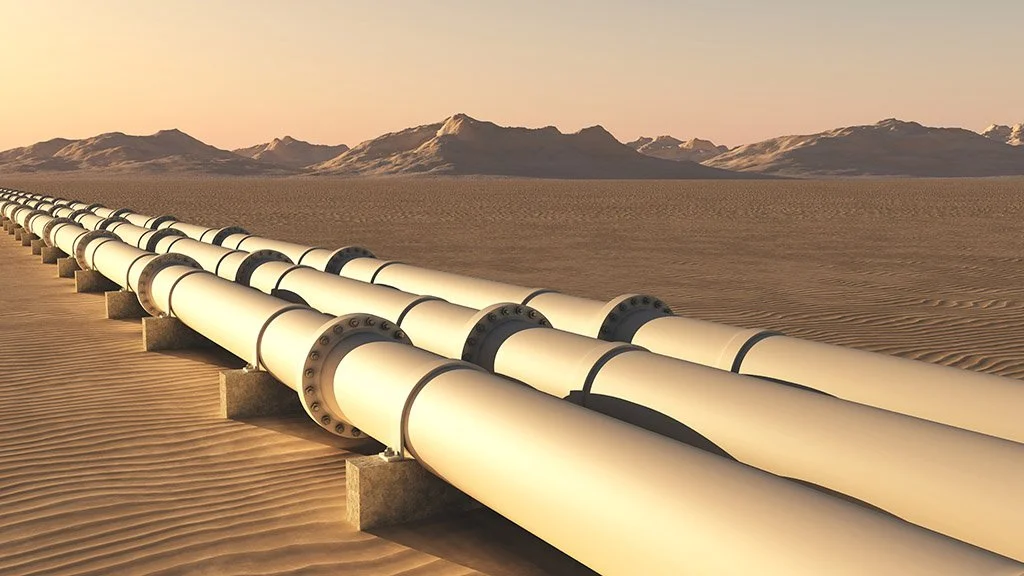
Infrastructure is under growing pressure from climate risk, rapid urban expansion, and aging assets. In 2025, the UN Office for Disaster Risk Reduction reported that the true global cost of disasters now exceeds $2.3 trillion annually when cascading and ecosystem impacts are included, underscoring how urgently governments need more resilient, data-driven infrastructure systems. Space-based monitoring is becoming a critical part of that response. Synthetic aperture radar satellites can observe the Earth day and night and through cloud cover, making them especially valuable for tracking floods, landslides, subsidence, and other changes that threaten roads, bridges, utilities, and urban areas. Across Europe, the Copernicus European Ground Motion Service now uses Sentinel-1 radar data to provide continent-scale ground motion measurements, while the Sentinel-1 mission continues to support all-weather monitoring of land and emergency conditions.
At the same time, space is no longer just a way to observe infrastructure on Earth — it is becoming infrastructure itself. Large satellite networks are expanding global communications capacity in orbit: SpaceX says Starlink now supports more than six million users through a broader constellation of more than 8,000 satellites, while Amazon’s low-Earth-orbit network, now called Amazon Leo, has begun deploying its initial constellation and ultimately plans 3,236 satellites. In Europe, the EU signed the concession contract for IRIS² in December 2024, advancing a 290-satellite multi-orbit system intended to provide secure connectivity, with government services expected by 2030. As terrestrial systems become more dependent on orbital connectivity, observation, and timing, infrastructure resilience on Earth will increasingly depend on what happens in space.